LOCATION
Thailand
OWNER
GIS Co., Ltd.
DESCRIPTION
Survey and mapping of housing/building structures along riverfronts in 10 m. corridor of Chao Phraya River, Sakae Krang River, Pa Sak River, Tha Chin River, Mae Klong River, Noi River, Lop Buri River, Phichit River, Ping River, Wang River, Yom River, Bangpakong River and Nakhonnayok, In 50 m. corridor of Chon Buricoasts, Rayong coasts, Chanthaburi coasts and Trat coasts, Total distance is 4,747 km.To develop the database for Marine Department.
SERVICE RENDERED
1) Coordinating for CSP information
- Submit a letter to the government agencies for secondary information.
- Coordinate to receive information from government agencies.
- Prepare information files for into further processing
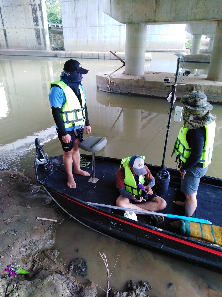
2) MMS survey on waterfront
- MMS survey on waterfront the river basin area,
- Total distance is 4747.709 km.
- Send MMS data for VDO splitting
3) Attribute survey with the key men and Field Survey
- Attribute survey with the key men and field Survey, Input in the database.
DURATION
August 2018 – July 2019

