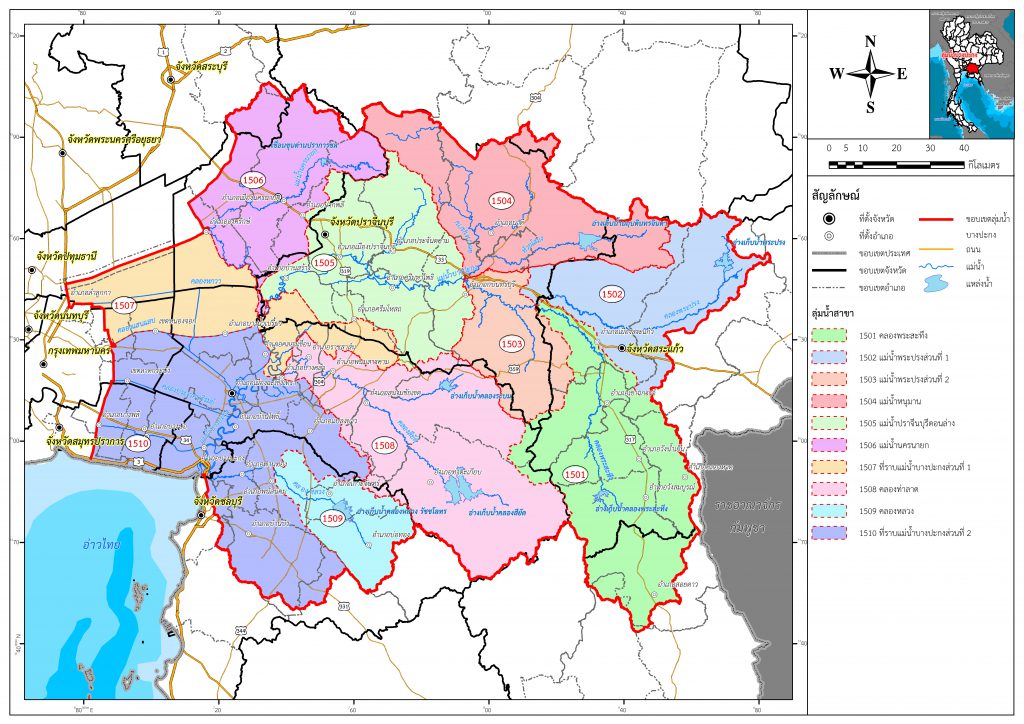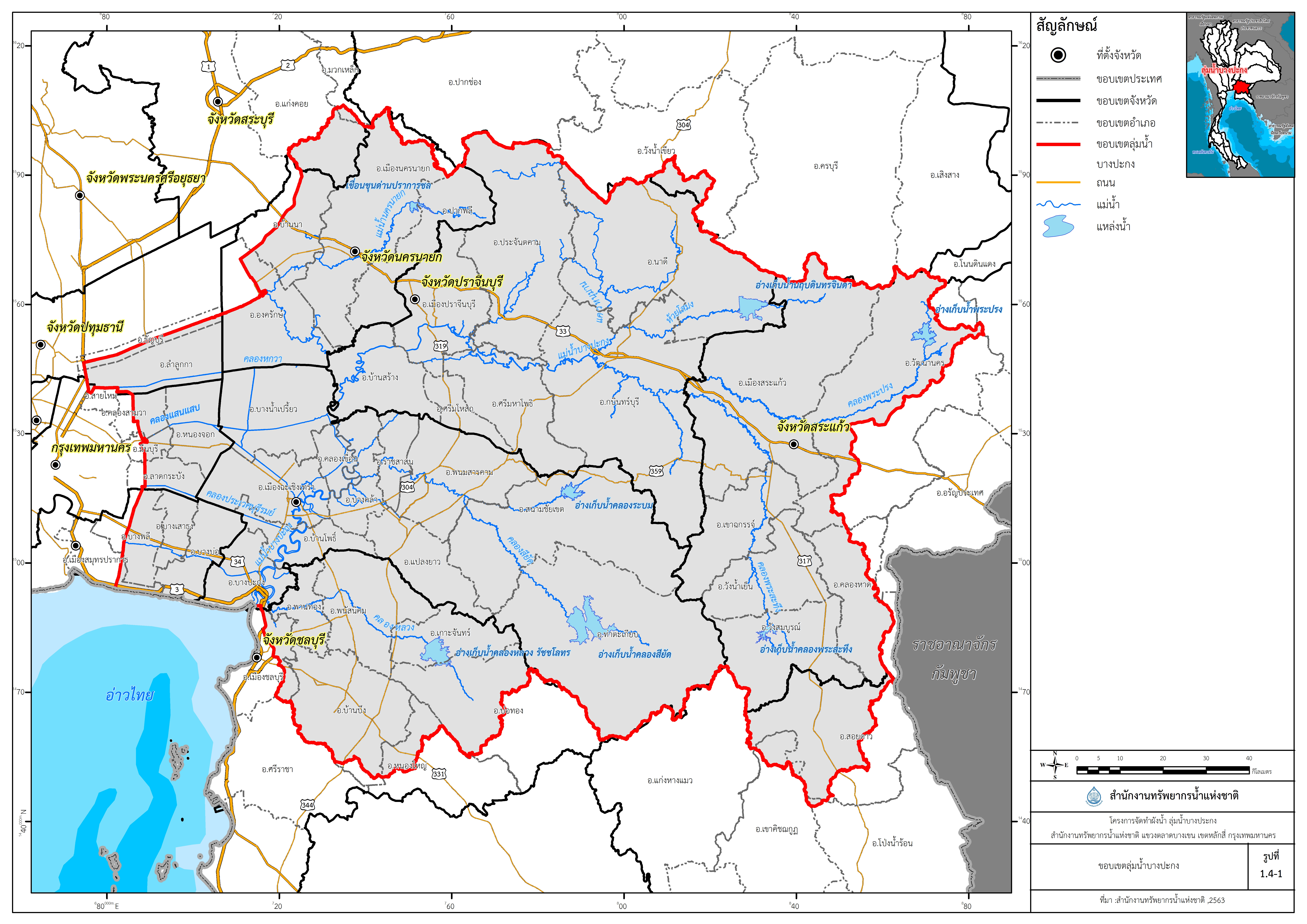
LOCATION
Bangkok PathumThani SamutPrakan Saraburi NakhonRatchasima NakhonNayok Sa Kaeo Chachoengsao Chon Buri Chanthaburi Province , Eastem of Thailand
OWNER
Office Of The National Water Resources
DESCRIPTION
The study area is the Bang Pakong River Basin with a total area of 20,358.99 square kilometers, which is a study, survey, collection and analysis of various data such as Topography, Meteorological, hydrological and hydraulic data for flood risk areas Analyze problems and causes determine the extent of the flood To be used as information for the preparation of the Bang Pakong River Basin To assemble and support drought prevention and mitigation plans Flood prevention and resolution plan Including allocation, use, development, management Maintenance, rehabilitation and conservation of water resources in Bangpakong River Basin.
SERVICE RENDERED
1. Study and analysis of hydraulic engineering data Create flood and drought models Risk map
2. Study, review, and analyze data for creating a water plan.
DURATION
May 2020 – September 2021

