LOCATION
Ping Basin, Wang Basin, Yom Basin, Nan Basin, Chao Pharaya Basin, Sakae Krang Basin, Tachin Basin and Pasak Basin
OWNER
Department of Water Resource.
DESCRIPTION
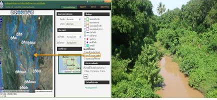
Making GIS Database of Water Courses.
SERVICE RENDERED
– Marking Water Course Layer in GIS Database from Topographic Map Scale 1:50,000
– Input attribute data of Water Course Layer.
– Making GIS web Application.
DURATION
June 2012 – June 2013

